Good spatial control is absolutely critical. I have decades of experience with total station and GPS surveying, and can ensure that your projects have the highest accuracy possible so that your results are well-supported and your reports are unassailable.
Whether planning trenches in GIS or joining you in the field to lay them out, I can help you plan and place your trenches with the greatest ease and accuracy.
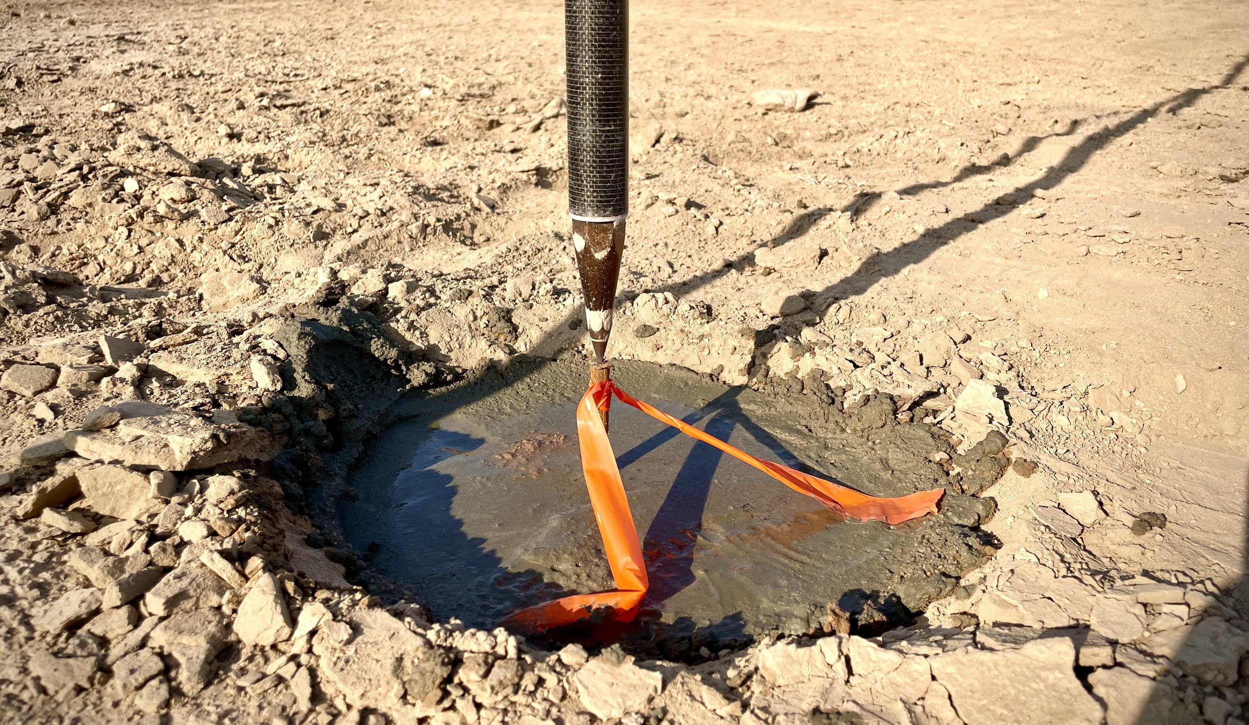
From point proveniencing artifacts to documenting historic structures, I can do total station mapping with the ShootPoints software that I developed (or train your team to do so themselves), to quickly and accurately generate maps of your work.