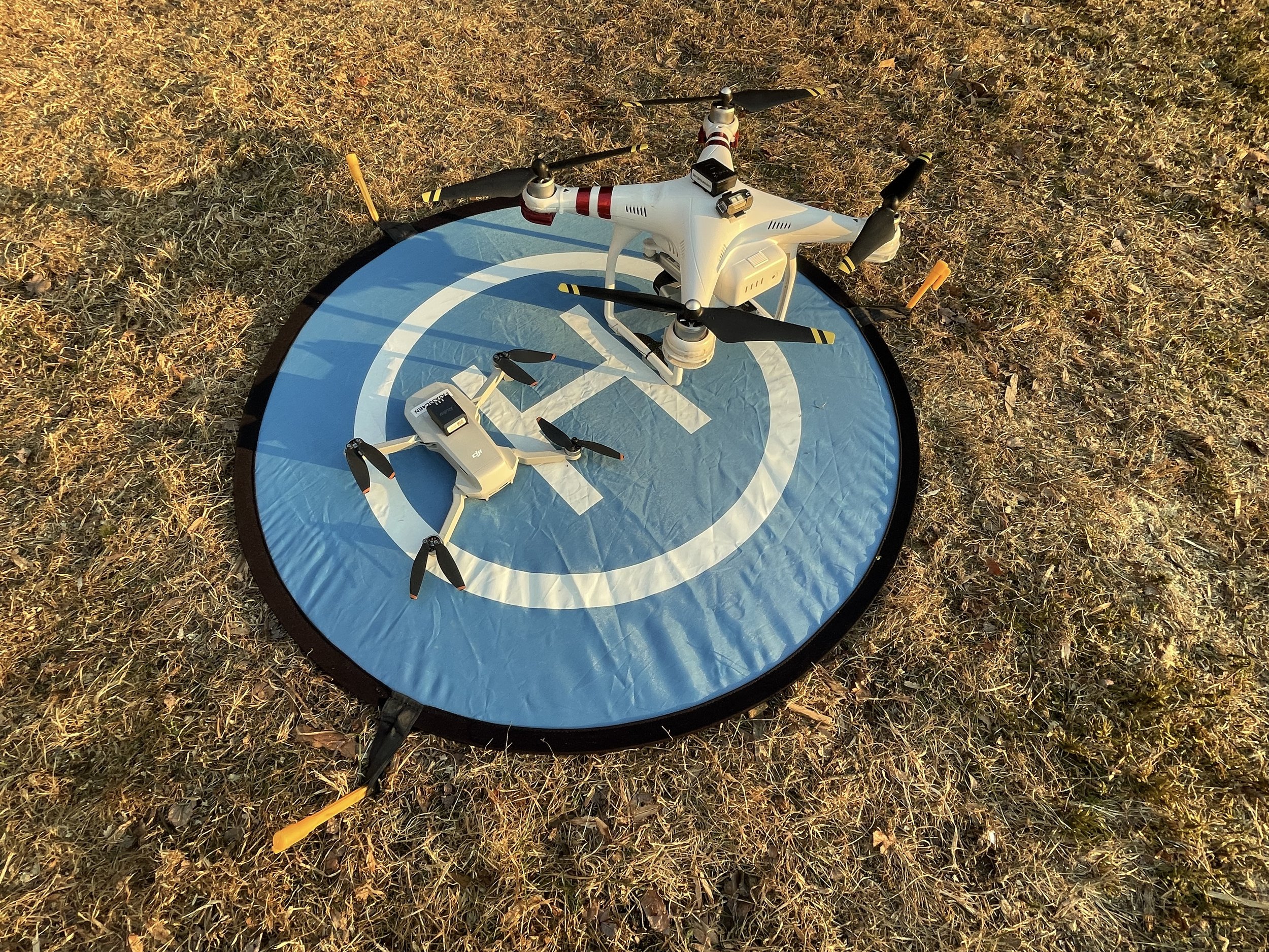
Revealing details that are often lost to Google Maps, old aerial photos, or other sources of readily-available imagery, I can create new drone maps of your entire site, recording its state prior to excavations or to document the progress of ongoing work. Georeferenced, these are ready for incorporation into your project GIS and project reports.
Sometimes handheld photogrammetric modeling can’t adequately capture all angles of a historic structure. In those cases, drone-mounted cameras open up new possibilities for full documentation. Hire me, with my fleet of aircraft, to fully record these buildings.